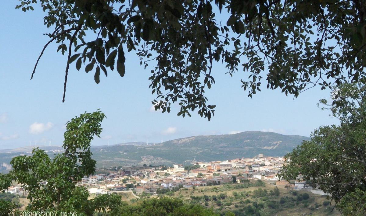
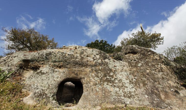
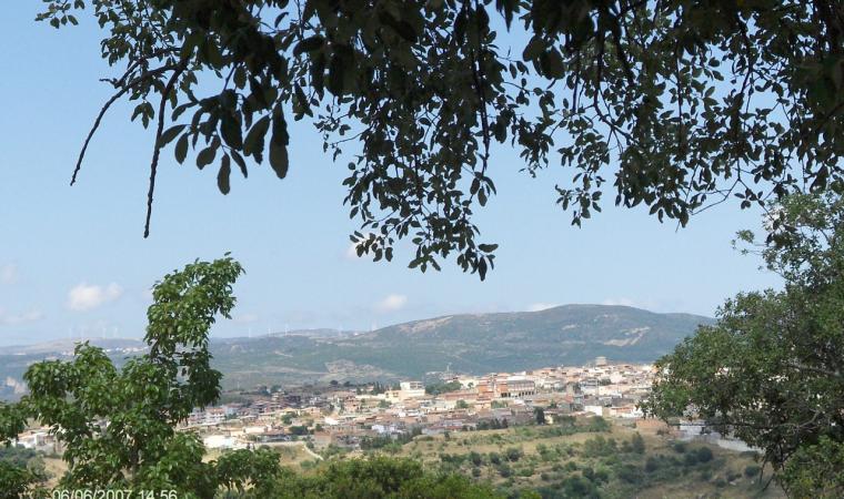
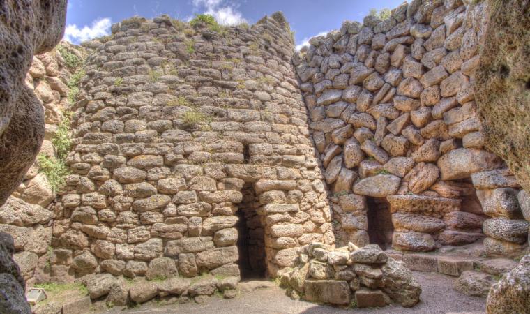
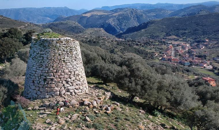
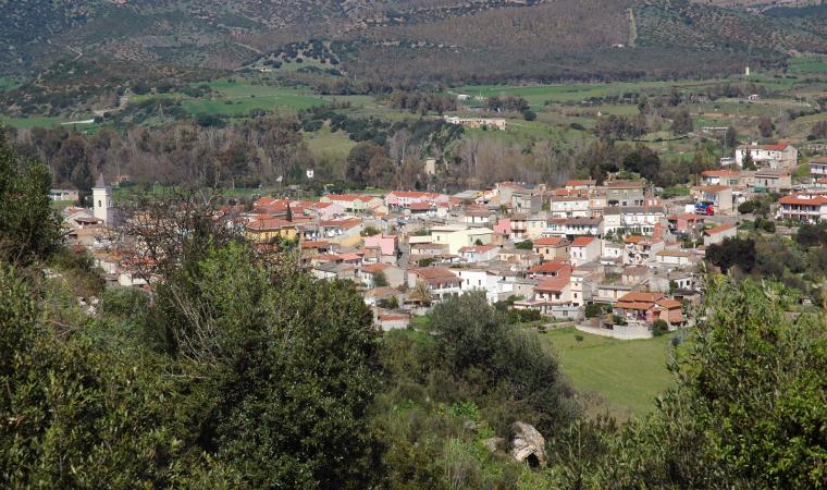
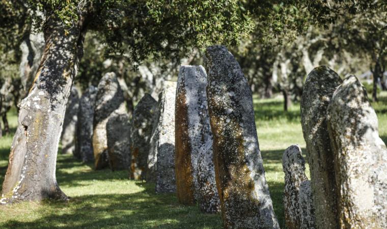
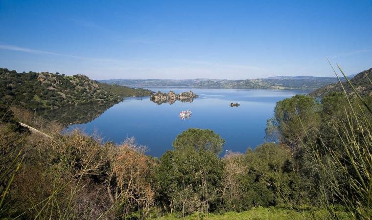
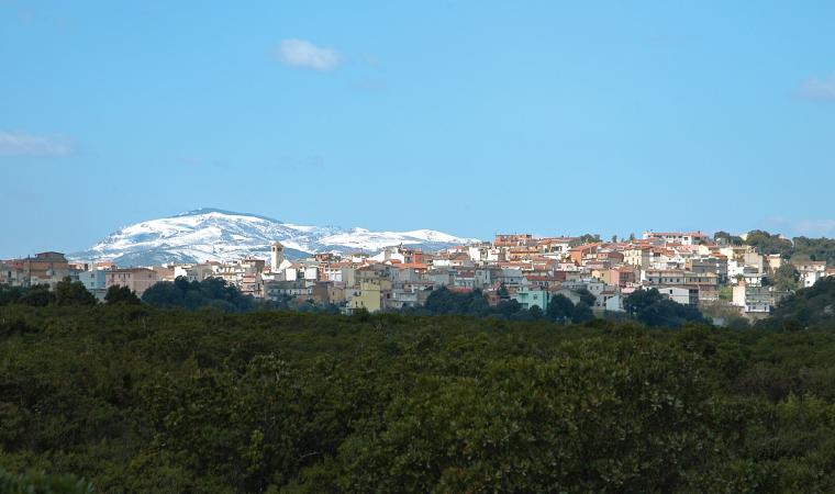
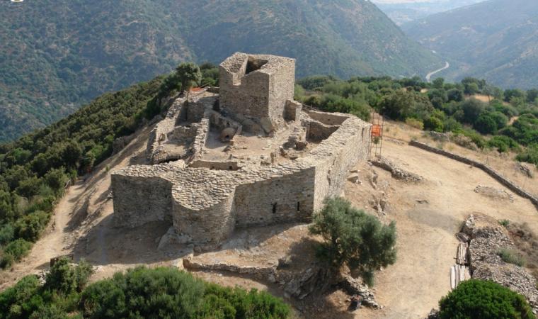
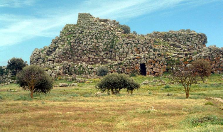
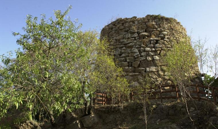
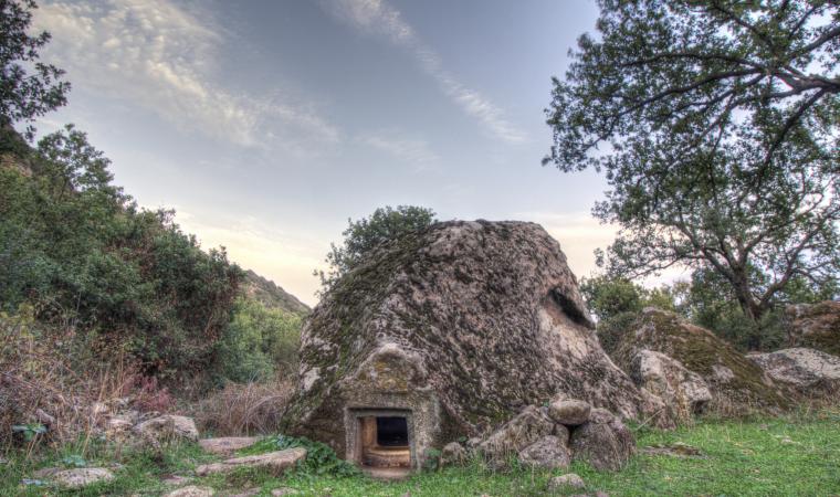
Perched on a plateau almost 350 metres high, Escalaplano is surrounded by the valleys of the rivers Flumendosa and Flumineddu, in a fertile area cultivated with fruit and olive trees, covered by forests of cork oaks. With 2,200 inhabitants in the historical region of Gerrei, Escalaplano is the last of the southern Sardinia provinces heading towards the Ogliastra border. The favourable position has allowed the area to be frequented since prehistoric times, with the earliest remnants being Domus de Janas, nuraghe and well temples. In a Spanish document from the mid-14th century, Escalaplano is mentioned as a newly-established town not yet subjected to taxation. According to legend, the village was located in Is Arantas, called Escall'e oru (golden stairway). It later transferred to the plateau, Su Pranu, and named Villanova de Scala de Plan, with reference to the long access road to the plateau. It was first controlled by the Carroz family, then passed to the duchy of Mandas.
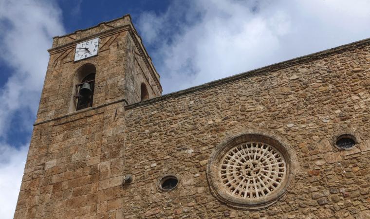
The inhabited town is assembled around the parish church of San Sebastiano, built in the Aragonese Gothic style and dating back to the 16th century. The façade is original, adorned with a large inlaid rosette. On the Is Sceasa plateau on the road to Ballao, stands the Chiesa di San Salvatore. Made of mud and straw bricks, it has today been restored. Festivals and food fairs enliven Escalaplano all year round, with their traditions and flavours. Events commence on 17th January with the feast of Sant’Antonio Abate, continuing three days later with that of the patron saint, San Sebastiano. In honour of the two saints, large bonfires are lit, accompanied by wine tasting, desserts and dances. On 15th May, San Salvatore is celebrated, with his simulacrum being accompanied to the country church dedicated to him. 24th June is the day of San Giovanni, with a procession in traditional costume and traccas, carts drawn by oxen and adorned with flowers. Also in June, the tasty festival of lentisk oil and of cheese. In August, there is the Escalaplano folk festival for Ferragosto. Finally, on 4th December, the town celebrates Santa Barbara.

