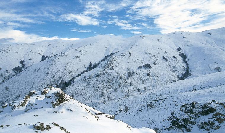
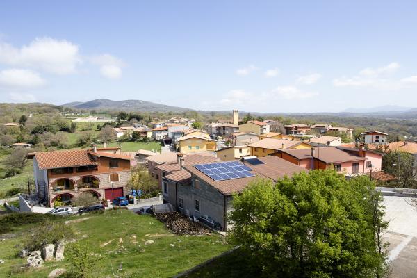
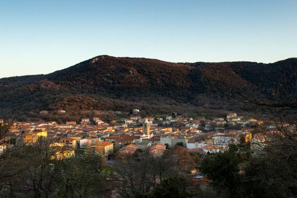
Silver spray in the wintertime, deep green or reddish streaks in the other seasons. These are the colours of the Gennargentu massif, the Sardinian mountain par excellence. As you will be able to see from the map, or better still in person, this is a complex mountainous area including various offshoots, one of which is Supramonte, extending northwards almost as far as Nuoro, and to the south as far as the valley of Flumendosa, while from east to west they go from the Tyrrhenian sea to the Tirso river. This is where the main waterways originate and run down to the eastern coast of Sardinia.

Mountain
It is the quintessential mountain of Sardinia: a vast territory in the centre of the Island, remarkable for its precious nature, largely wild and unspoilt and waiting to be discovered, with its deep gorges and canyons
It is the quintessential mountain of Sardinia: a vast territory in the centre of the Island, remarkable for its precious nature, largely wild and unspoilt and waiting to be discovered, with its deep gorges and canyons
Approfondimenti
See this place because...
It is a journey deep into the wildest and most authentic areas of Sardinia, with its splendid natural scenery: every one of its thousands of different aspects deserves a visit in every season.
Pictures and videos
Nearby
Admission
Free admission
You may also like
More attractions in the vicinity
Nearby hotels and accommodations

Bed and breakfast (rental rooms)
FONNI
4 km

Bed and breakfast (rental rooms)
FONNI
4 km

FONNI
5 km


