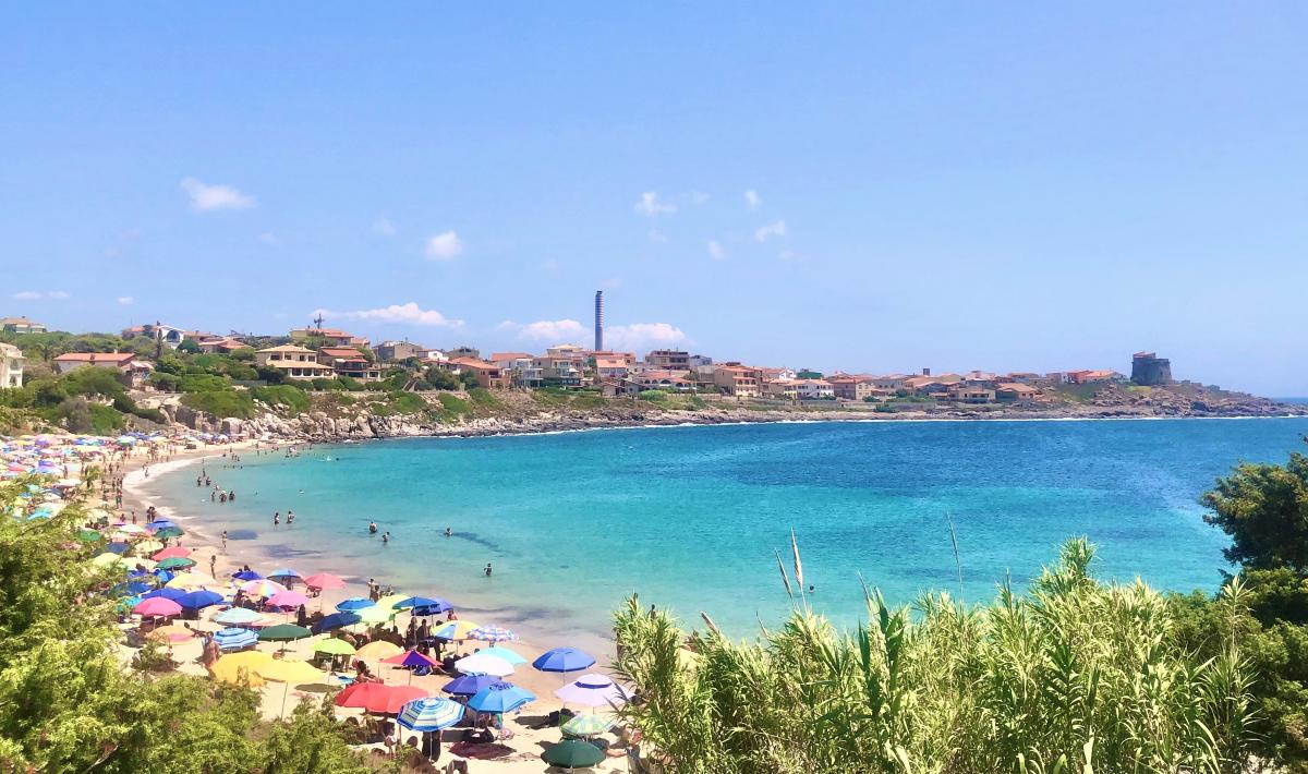
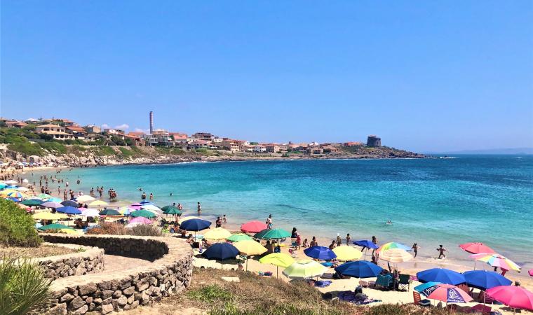
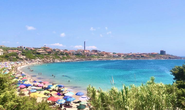
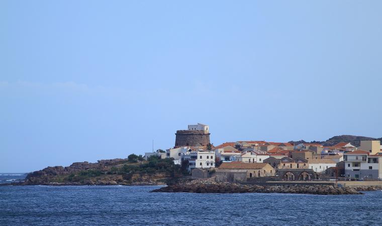
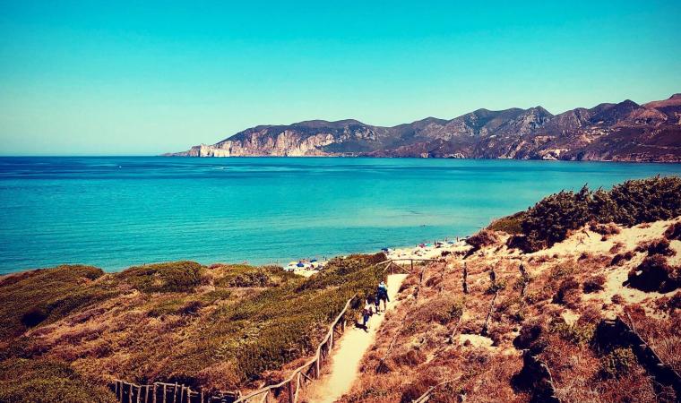
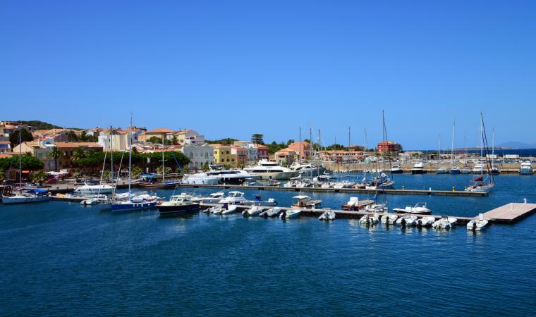
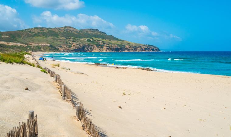
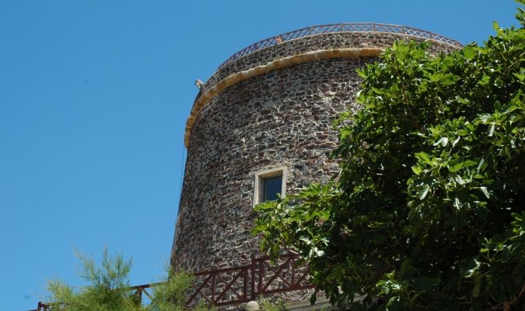
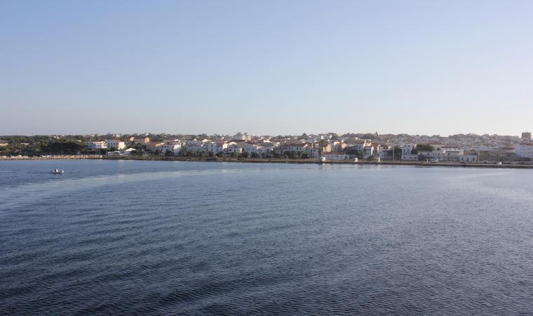
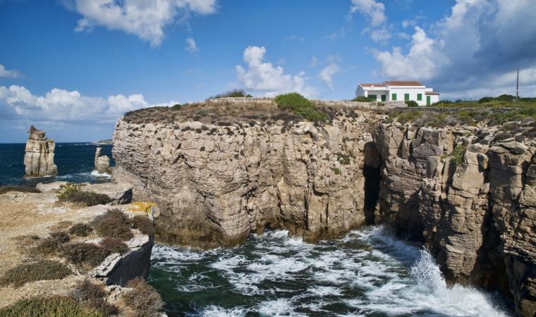
It extends in an arched shape, delimited and sheltered by two cliffs, beyond which you will see the greenery of a large, shady pine forest. The beach of Portopaglietto is located in the northern part of the town of Portoscuso, a village of Spanish origin that has always been focused on fishing, especially tuna. The sandy stretch of the beach, about 250 metres long, has golden hues, shining before a crystal clear blue sea. Off the coast, facing the shore, you will see La Ghinghetta, a rock on which there is a picturesque lighthouse coloured with red and black bands. Looking beyond, you will see the coastal outline of the island of San Pietro. The sides of the beach are rocky up to the foot of the trachyte cliffs and above one of them - the southernmost one - stands the tower of Portoscuso, a Spanish fortress built to defend the coast and the fishermen of tuna and coral, which became the symbol of the town over time. It is still in excellent condition today and is used for cultural events. The northern promontory, on the other hand, acts as a shelter from the winds, especially the northwesterly wind, a feature that, along with the shallow waters and sandy seabed, makes Portopaglietto a suitable destination for families with children. An extensive pine forest, less than two hundred metres away, guarantees some shelter during the hottest hours and also contains a playground.
Portopaglietto is surrounded by unmissable landscapes: a path that leads directly from the beach in a southerly direction - through myrtle bushes and prickly pear plants - will take you to the Spanish tower. From here, on your left you will notice the buildings of the historic tuna fishery of su Pranu, dating back to the 17th century. It stretches around a courtyard overlooking the sea, where you will see a marble sundial. The building is still active for the tuna slaughters, between May and June. Inside, there is the church of Sant'Antonio da Padova.
Then, to the north of Portopaglietto, you will reach various panoramic points along the road that runs alongside the pine forest. The first is sa Cala ‘e su Zurfuru, a rocky cove frequented by numerous snorkelling enthusiasts. Moving beyond, you will come across Capo Altano, featuring abandoned military fortifications and a perfect location for admiring the sunset. From the top of the promontory, as well as San Pietro, you will be able to identify Calasetta and the northern limit of the island of Sant’Antioco, while on the right, you can see the Iglesias coast as far as Nebida.

