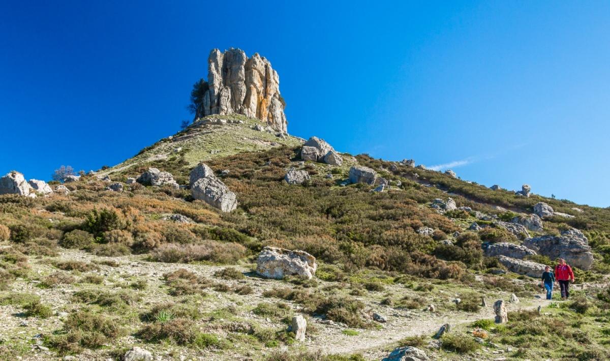
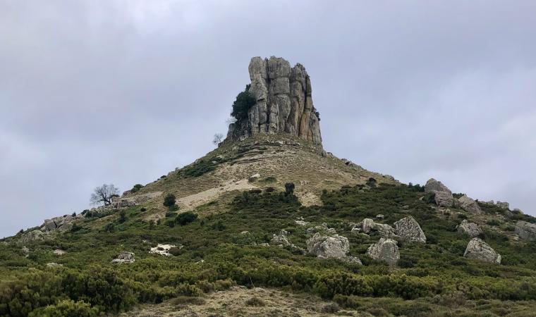
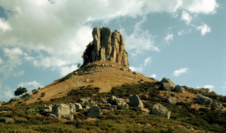
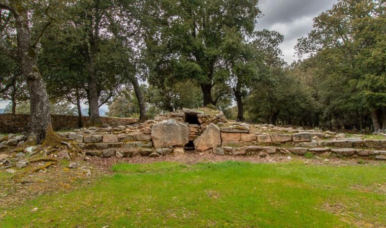
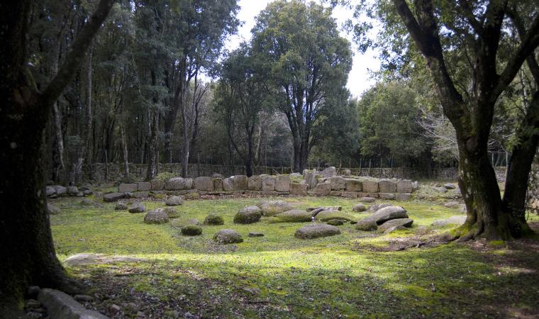
At one time, it may have been a meeting place for Nuragic populations and then, according to popular legends, it became the entrance to the Underworld. It emerges from the earth like a gigantic finger stretched towards the sky and is a reference point, visible from a great distance, for hikers in a wild territory. Perda ‘e Liana is an extraordinary rocky formation declared a natural monument in 1993. The unusual ‘mount’, known as taccu or tonneri in Sardinian, stands out in the territory of Gairo Sant’Elena: it is the greatest piece of evidence of the erosive action of the weather, which lasted tens of millions of years, on an extensive limestone covering in the Ogliastra area on the border with Barbagia of Seulo. The erosion progressively isolated the ‘tower’ and shaped its base. It is the highest (1293 metres) of the numerous buttes in Ogliastra, northern extremity of the plateau of Tonneri, about two kilometres away, which connects with the saddle of s’Arcu ‘e su Pirastu Trottu. In the distant past, they may have formed a single mountain ridge.
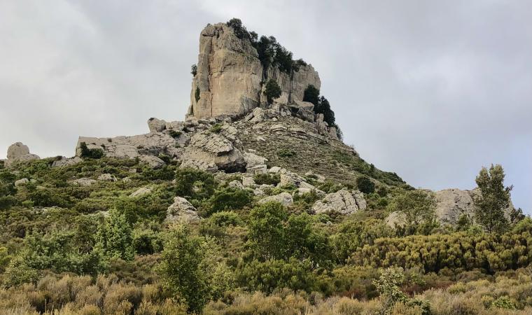
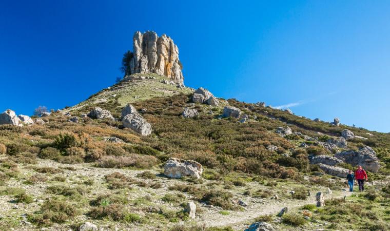
Perda ‘e Liana has a composite profile. In the upper part, it consists of a majestic cylindrical limestone-dolomitic crag, with a diameter of about a hundred metres and with a streamlined shape. Its sub-vertical walls, 50 metres high, are divided into regular-shaped blocks and their light colour makes them stand out against the dark landscape. The summit of the taccu originated in the Jurassic era (130-150 million years ago) following long sedimentation in an underwater environment, as is shown by the marine fossils scattered around it. The base has a truncated cone shape, it stands on the plateau of Pranedda and it is composed of Mesozoic sandstone. It overlaps a compact base of Palaeozoic schists.
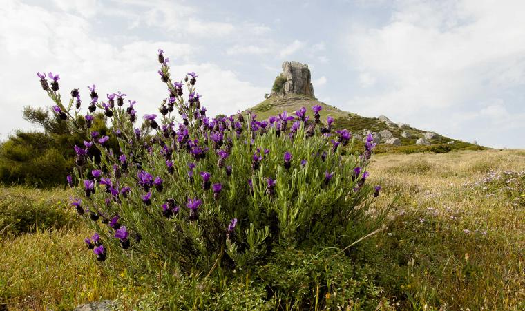
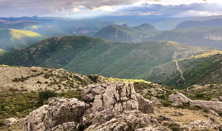
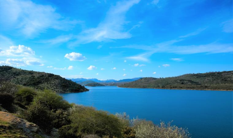
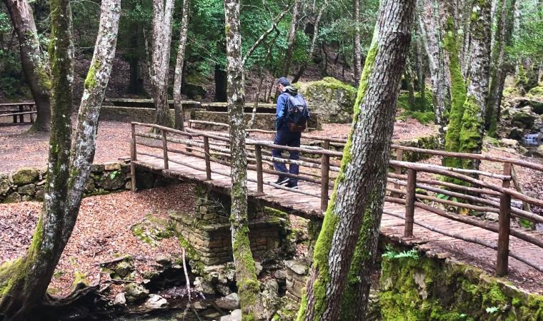
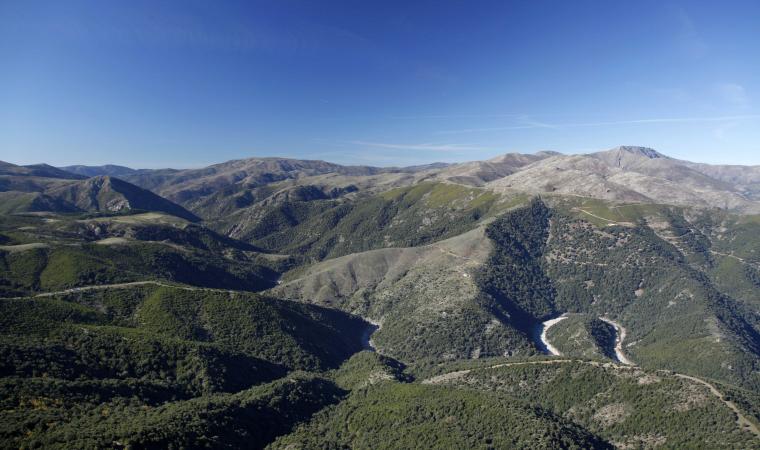
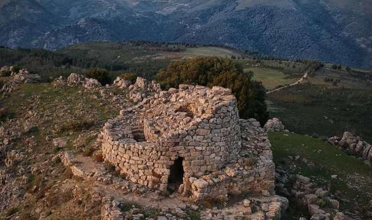
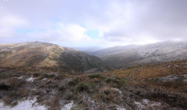
The name liana may come from the characteristic smoothness of the rock or from olione, strawberry tree, that covered its slopes. Otherwise, it may have come from the Ilienses, Nuragic people, who met at the base of the limestone peak. Not surprisingly, the mountain is clearly visible at a great distance from the major Nuragic settlements of deepest Ogliastra - s’Arcu e is forros, Ruinas and Serbissi - and it is a reference point for people doing trekking in the area, amidst woods of holm oaks and shrubs in the Mediterranean scrub. As you get closer to the top, the trees disappear and the ‘low’ vegetation thins out until it almost disappears, like at Texile in Aritzo. In an area ideal for hiking, you can follow a network of marked trails, accompanied by guides, starting from the barracks of Montarbu, one of the most enchanting Sardinian forests, as well as a wildlife oasis, where the green Trenino Verde tourist train stops. Caves and sinkholes open up in the nearby karst plateaus, among which su Stampu.
The mountain, considered almost like a totem pole in Antiquity, became the protagonist of popular legends, perhaps as early as pre-Christian times. It was said that the door of Hell could be found in the taccu: in popular imagination, devils would come out and dance around it in the moonlight, ready to give all the riches of the world to those who went there, in exchange for their souls. Hence the following sayings: “He went to sell his soul to the Devil at Perda Liana”, “they give you what you ask for there”. To verify the ‘truthfulness’ of the legends, you can get there from several points and roads: from Gairo and its hamlet Gairo Taquisara, from Villagrande Strisaili and from Seui along state road SS 198, taking the mountain road that leads to the Flumendosa lake. From the rest areas, both to the north and to the south, you will reach the taccu from pedestrian paths of about one kilometre. You can also take a circular path around the Perda. The climb (recommended) starts from Arcu de su Pirastu Trottu and, with a height difference of 340 metres, reaches the base of the tower. You can climb fairly easily up to the halfway point, going beyond a grade three passage. The climb up to the summit is the dominion of rock climbers only.

